Mapping Your Local Environment
Mapping Your Local Environment (MYLE) is a place-based workshop series that bridges the gap between local journalism, environmental justice organizing, and civic engagement. MYLE strengthens environmental justice narratives by providing Geographic Information Systems (GIS) training and open environmental data to help journalists, activists, and communities identify, document, and advocate for solutions to local environmental injustices.
MYLE is developed in partnership with Rooted Futures Lab and a network of regional collaborators.
Learning Outcomes
Part 1: Critical Mapping and Storytelling
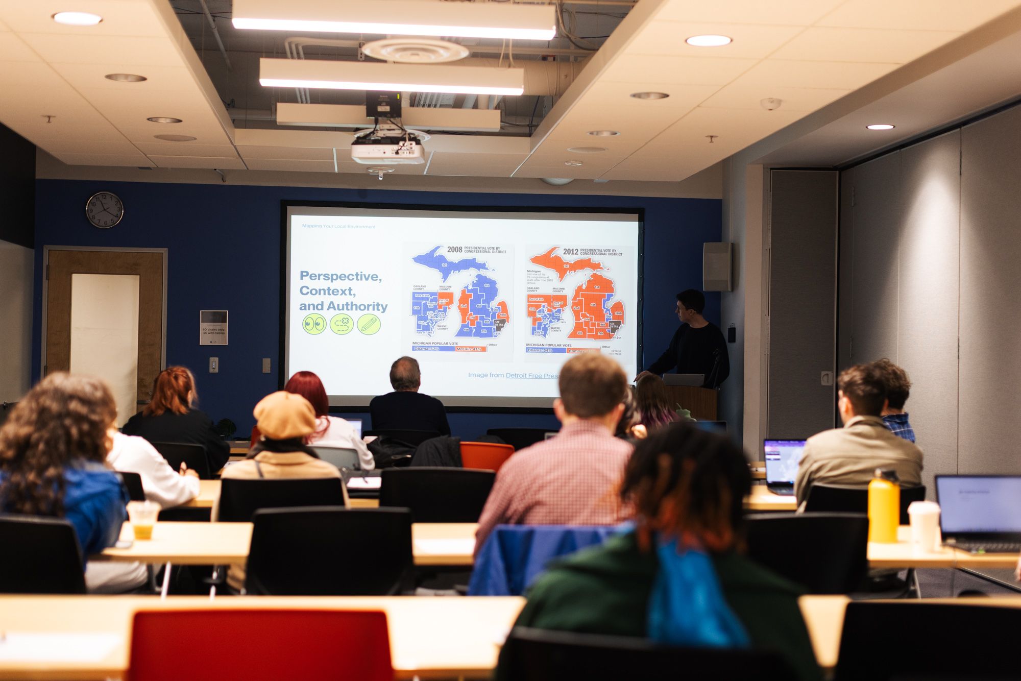
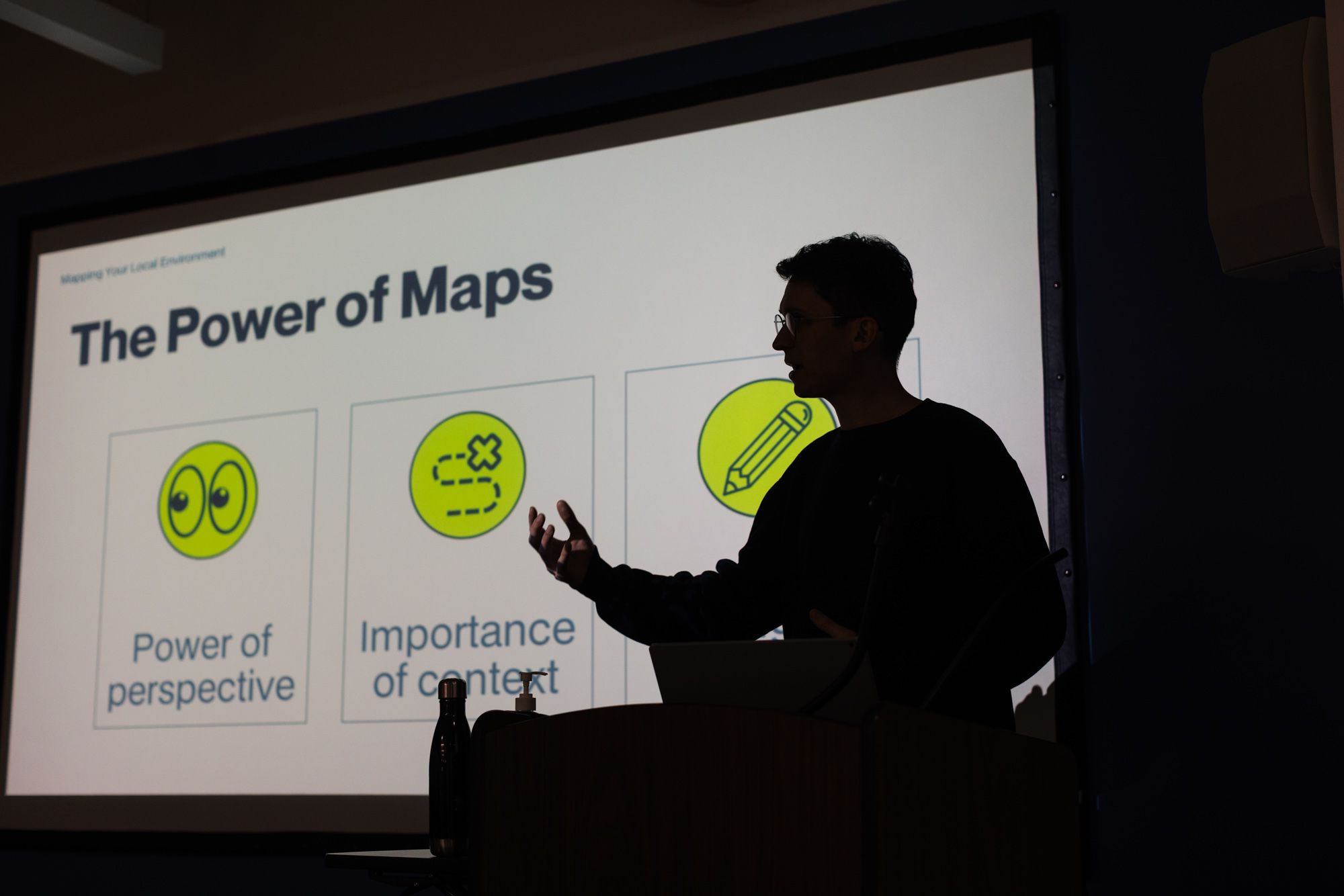
This portion of the workshop focuses on maps as a form of storytelling, examined through lecture and group discussion. Participants are introduced to real-world examples of environmental justice focused maps in order to discuss questions of power, perspective, and context in spatial storytelling.

Part 2: Applied GIS Skills for Advocacy
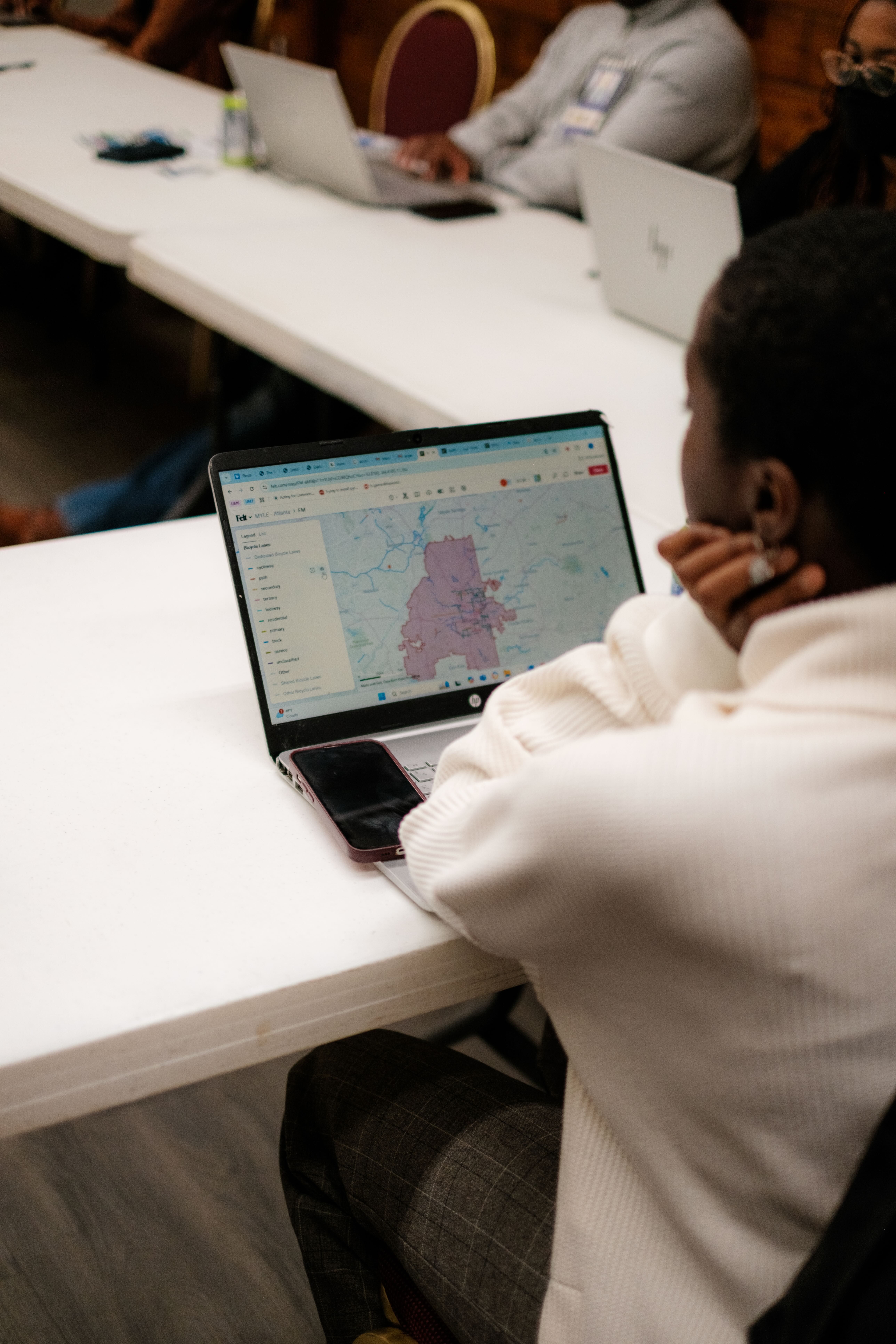
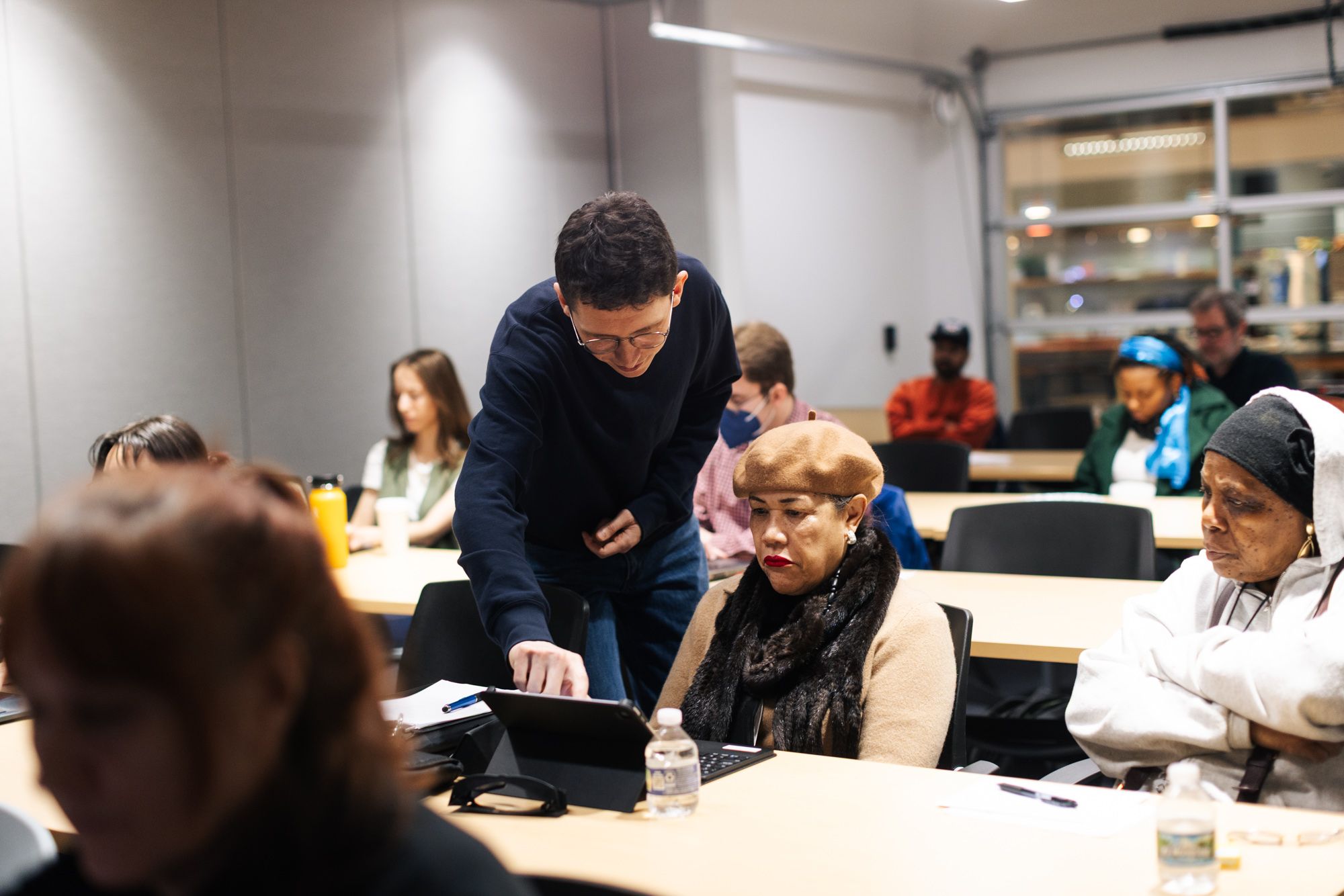
Here, participants engage in a hands-on workshop using Felt, a browser-based GIS platform. They are introduced to the process of locating, evaluating, and using open environmental datasets to craft their own local stories through mapping.

Participants will:

+ Understand the power dynamics of maps
+ Examine the colonial context of maps
+ Recognize the perspective, context, and authority that is embedded in every map
+ Analyze different use cases for GIS in local environmental justice contexts
+ Discover and navigate local environmental datasets
+ Build and publish a basic environmental map using Felt
+ Engage with different members of their communities through group discussion
+ Apply new skills to their own interests, work, and advocacy
“This was a great workshop, very informative, friendly workshop leaders, good conversation within the group. It was very accessible for any level of expertise working with data.”
– MYLE, Atlanta participant